3D Laser Scanning
Our experienced 3D Laser Scanning department uses cutting-edge hardware and software to produce highly detailed and accurate 3D point clouds of almost any environment.
Our 3D laser scanners measure millions of highly accurate pin-point measurements in minutes and enables us to gather data for large sites in hours rather than days.
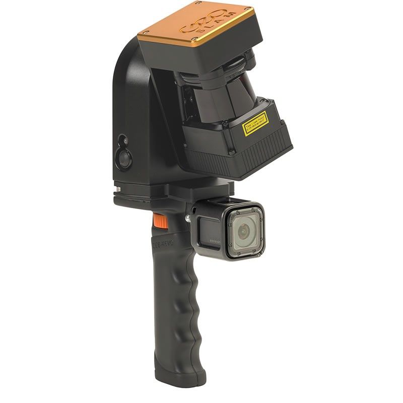
We are very pleased to introduce the newest addition to our range of survey equipment, the GeoSLAM ZEB-REVO - This mobile hand-held revolving laser-scanner records more than 40,000 measurement points/second while on the move. Fast. Simple. Mobile. Reliable.
Point Cloud data is available in the standard output formats and can be imported directly into AutoCAD via AutoDesk ReCap.
Click here to view Video


